To continue exploring our datasets, return to statistics.gov.scot
We often get requests from users who want to find out statistics about their local area, or small areas they are interested in. For instance, you might want to learn about the characteristics of a local area for a business service you are offering, or to find out about housing or education statistics for a potential house move. You can use the search function on our site to achieve this.
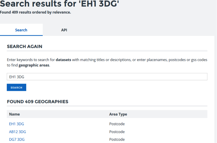
For example, let's find out about the area surrounding 'EH1 3DG', which is where we're based.
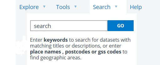
You can hover over the "Search" tab in the menu toolbar, enter the post code and then click go.
You will then be given a list of search results, and can click the top result, EH1 3DG.
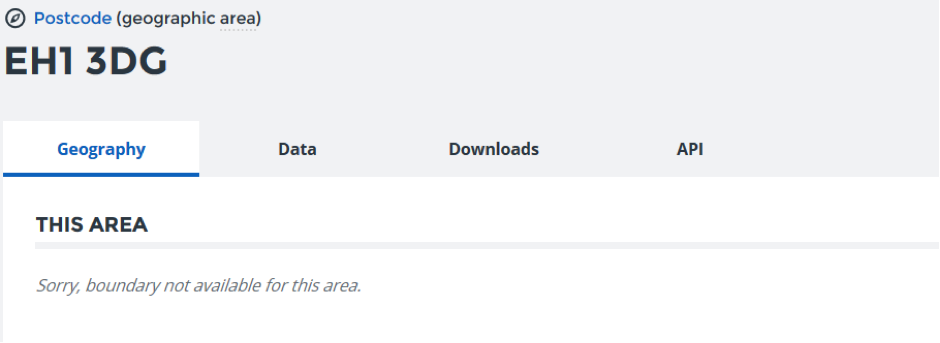
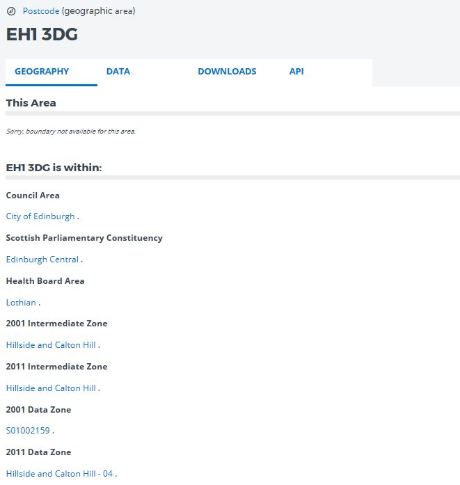
This will open a page which shows which areas the postcode is in, such as the Council and the Scottish Parliamentary Constituency.
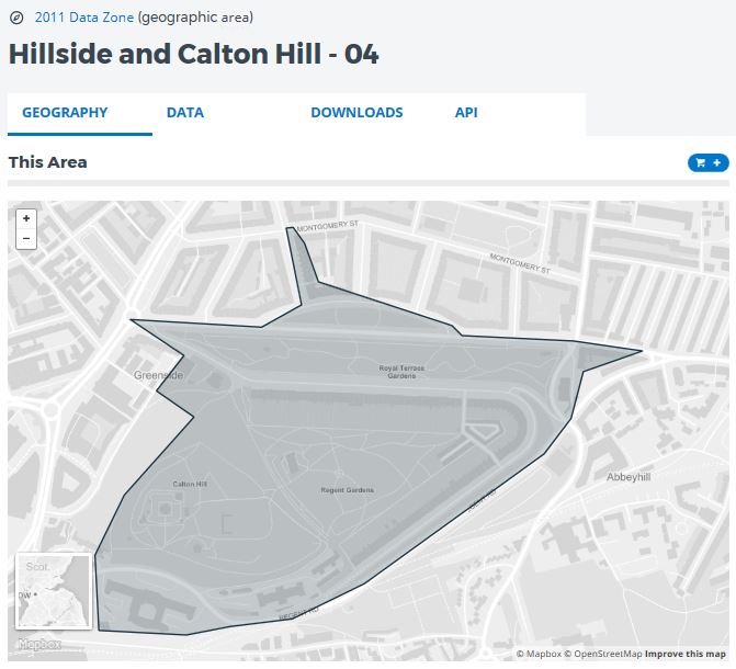
We do not release data at postcode level data on the site; the smallest area which we publish statistics for is the Data Zone, with populations of around 500 to 1000 people. The most up to date version is the 2011 Data Zone, which you can access from the Geography tab, near the bottom. Click the link for "Hillside and Calton Hill - 04".
You will now be shown a map of the area you have selected.
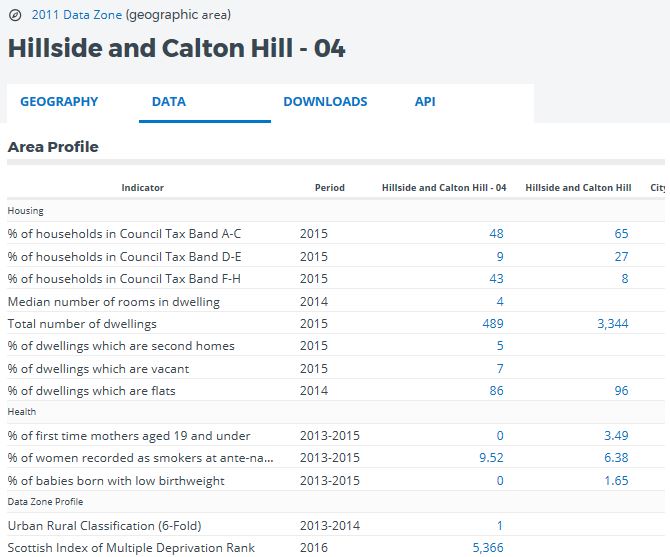
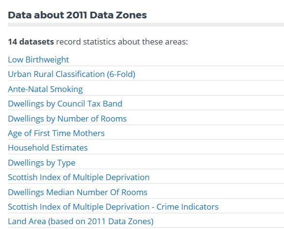
To access summary statistics for the area, click on the 'Data' tab and you will be given data for a range of indicators. At the bottom of the page is a list of datasets that we hold for this Data Zone. You can click on any of the observations in blue to see a richer view of the data with a time series for that area if the data allows.
SUMMARY
- Enter post code into search bar.
- Select post code from list of results.
- Select 2011 data zone.
- Click "Data" tab.
To continue exploring our datasets, return to statistics.gov.scot